
写真
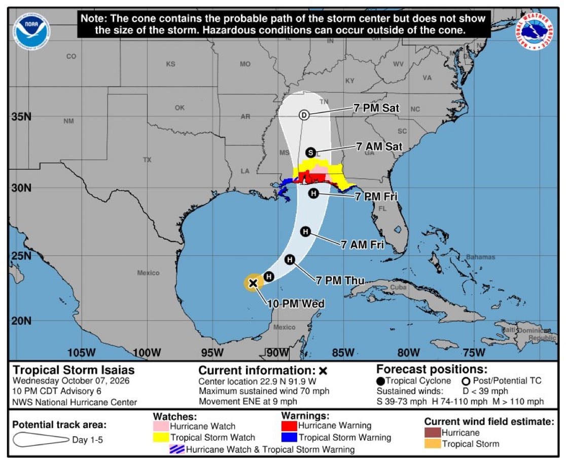
Hurricane Isaias northern Gulf Coast warnings
@viraliさんの写真· Oct 8, 2026· National Oceanic and Atmospheric Administration
この写真について
The image is a weather map showing the projected path of Tropical Storm Isaias. The map displays the Gulf of Mexico and surrounding US states, with a cone of uncertainty indicating the storm's potential track. The mood is informative and serious, typical of a weather alert. A notable detail is the NOAA logo in the upper left and the National Hurricane Center logo in the upper right. ON-SCREEN TEXT: Note: The cone contains the probable path of the storm center but does not show the size of the storm. Hazardous conditions can occur outside of the cone. NOAA NATIONAL WEATHER SERVICE Tropical Storm Isaias Wednesday October 07, 2026 10 PM CDT Advisory 6 NWS National Hurricane Center Potential track area: Day 1-5 Watches: Hurricane Watch Tropical Storm Watch Hurricane Watch & Tropical Storm Warning Warnings: Hurricane Warning Tropical Storm Warning Current information: x Center location 22.9 N 91.9 W Maximum sustained wind 70
National Oceanic and Atmospheric Administrationの写真をすべて見るNational Oceanic and Atmospheric Administrationのウィキを読む
?
National Oceanic and Atmospheric Administrationの写真をもっと見る
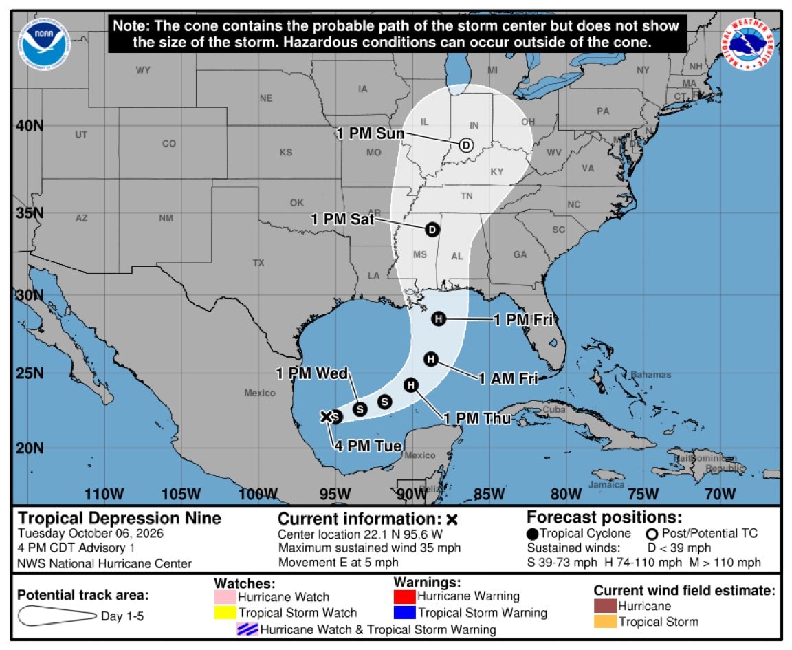 Tropical Depression Nine path
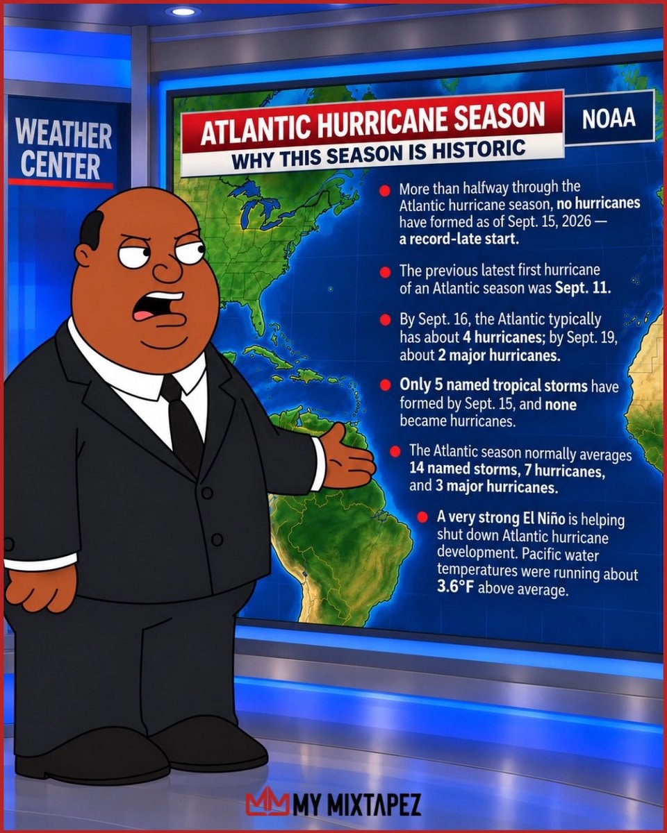 2026 Atlantic hurricane season forecast
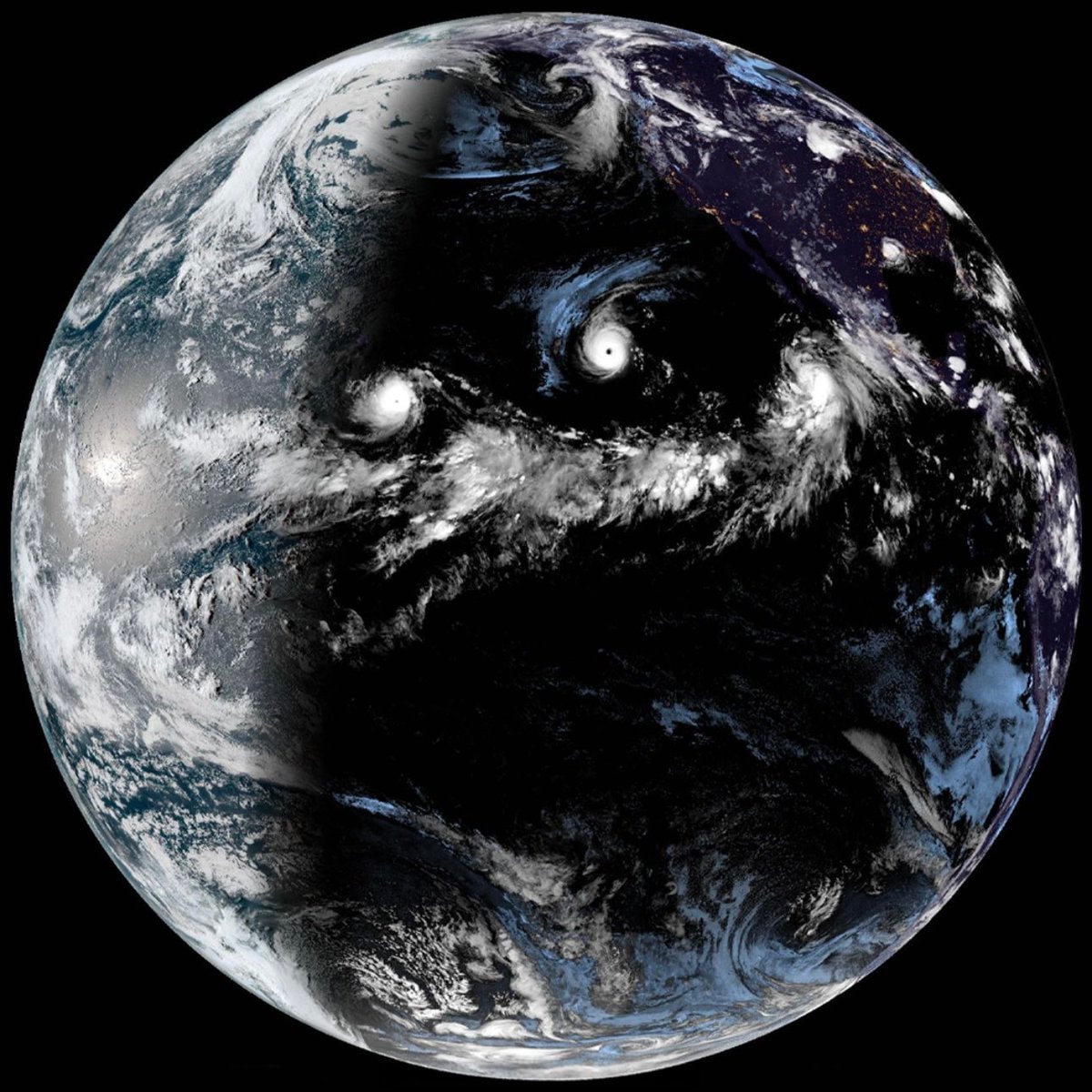 Earth image from NASA NOAA GOES Satellite
 anime opinion shift over time
 Shai Gilgeous-Alexander Thunder NBA
 Ewig Dein 2024 German thriller
 Kim Taehyung V Taehyung
 ATFA diploma scheme investigation
 pearls in seashells on sandy seabed
 2same anime character reveal
 2Jin Esquire Alo photos
 3Dylan Harper girlfriend affair accusation
 2ROSALÍA The Tonight Show Starring Jimmy Fallon
 Jimin and Jungkook long sleeves
 3BTS concept collage
 América Mineiro relegated to SÉRIE C
 Brasileirão fired coaches list
 2Prediction account statement reaction